File:DF-map-Iliac Bay.png
The UESPWiki – Your source for The Elder Scrolls since 1995

No higher resolution available.
DF-map-Iliac_Bay.png (640 × 320 pixels, file size: 38 KB, MIME type: image/png)
Summary[edit]
Map of the Iliac Bay region as it appeared in Daggerfall
Licensing[edit]
 |
This image was created for use on UESP using components taken from the Elder Scrolls series of video games or from websites created and owned by Bethesda Softworks. The copyright for the components is held by Bethesda Softworks while the copyright for this particular composition is held by UESP. It is available for use under the same Attribution-ShareAlike 2.5 License as our text content. For further details, see our copyright policy. |  |
File history
Click on a date/time to view the file as it appeared at that time.
| Date/Time | Thumbnail | Dimensions | User | Comment | |
|---|---|---|---|---|---|
| current | 03:55, 26 November 2017 | | 640 × 320 (38 KB) | Dillonn241 (talk | contribs) | scale up to match size of labeled map, should not change image at all |
| 03:38, 26 November 2017 |  | 320 × 160 (27 KB) | Dillonn241 (talk | contribs) | last one seems to be stretched vertically and doubled in scale, this should be the original | |
| 03:23, 26 November 2017 | 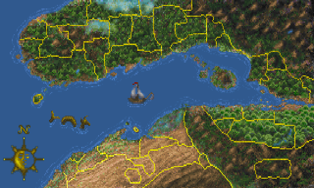 | 640 × 384 (39 KB) | Dillonn241 (talk | contribs) | Map of the Iliac Bay region as it appeared in Daggerfall Category:Daggerfall-Map Images |
- You cannot overwrite this file.
File usage
The following 4 pages link to this file: